BECQ Requesting Feedback on Coastal Hazards Inventory
ANNOUNCEMENT | March 31, 2023
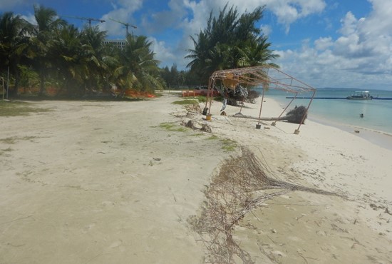
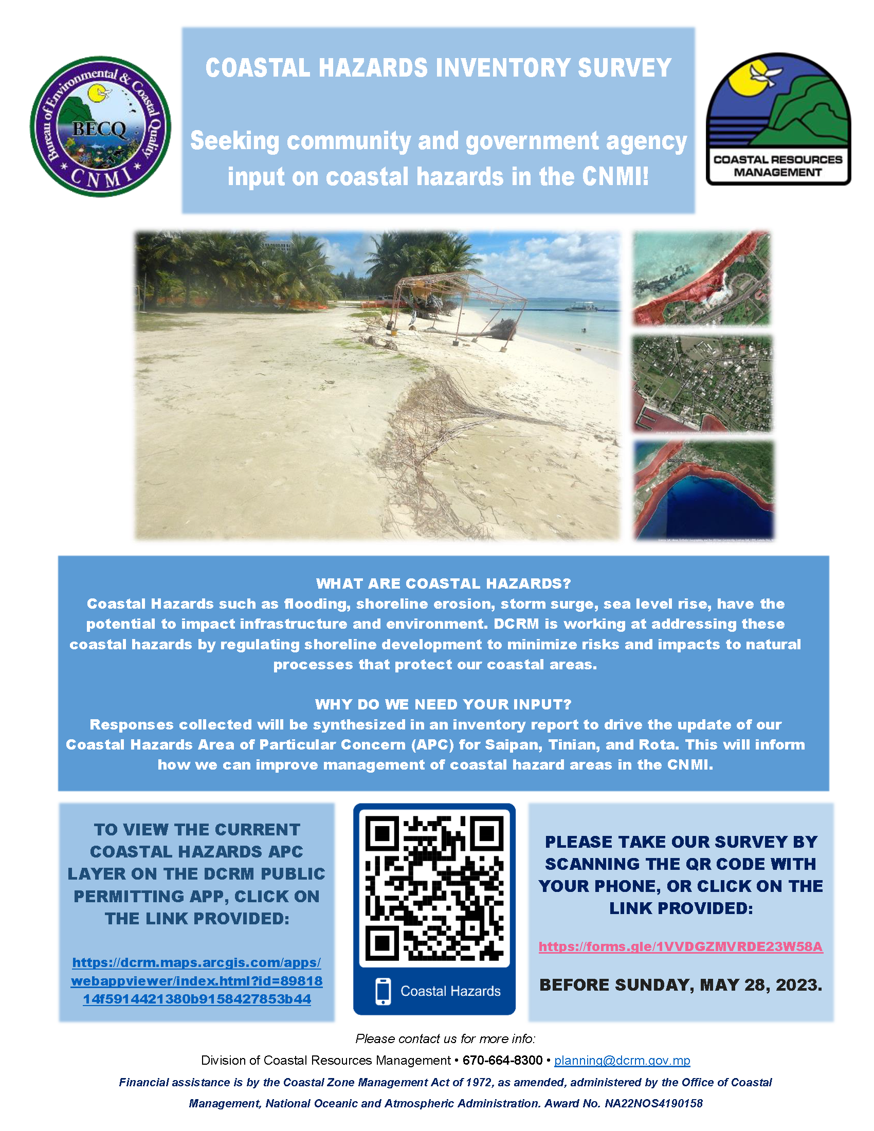
The Bureau of Environmental Coastal Quality - Division of Coastal Resources Management is seeking input from local government agencies and shoreline stakeholders on our coastal hazards inventory. Coastal hazards are currently defined as “an area of special flood hazard extending from offshore to the inland limit of a primary frontal dune along an open coast and any other area subject to high velocity wave action from storms or seismic sources. The coastal high hazard area is identified by FEMA's FIRM maps as Zone V and VE” (NMIAC Section 15-10).
This inventory will inform what coastal hazards should be integrated into the existing Coastal Hazards "Area of Particular Concern", which DCRM uses for managing and regulating development activities. Please take this survey to provide input on the matter by May 28, 2023. The survey will take about or less than 10 minutes of your time.
Link: Coastal Harzard Inventory Survey Flyer PDF